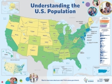
SIS Elementary School Map: Understanding the U.S. Population

This map illustrates data from all 50 states for elementary students. It is intended to help students understand the U.S. population and where their state fits in by showing data on state populations, population density, and more.
Access the Map
Page Last Revised - September 19, 2022


