Directions for School District Maps
Directions for School District Maps
The boundaries on our SAIPE interactive tool are generalized boundaries to allow for faster loading times, and are not suited for boundary review. However, the table contains a link unique to each district that will display detailed boundaries. To use the interactive tool and view school district information, follow these steps:
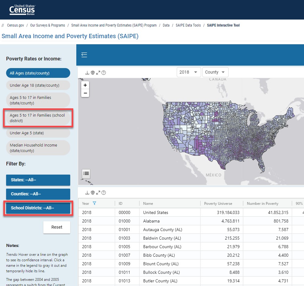
- Navigate to census.gov/data-tools/demo/saipe.
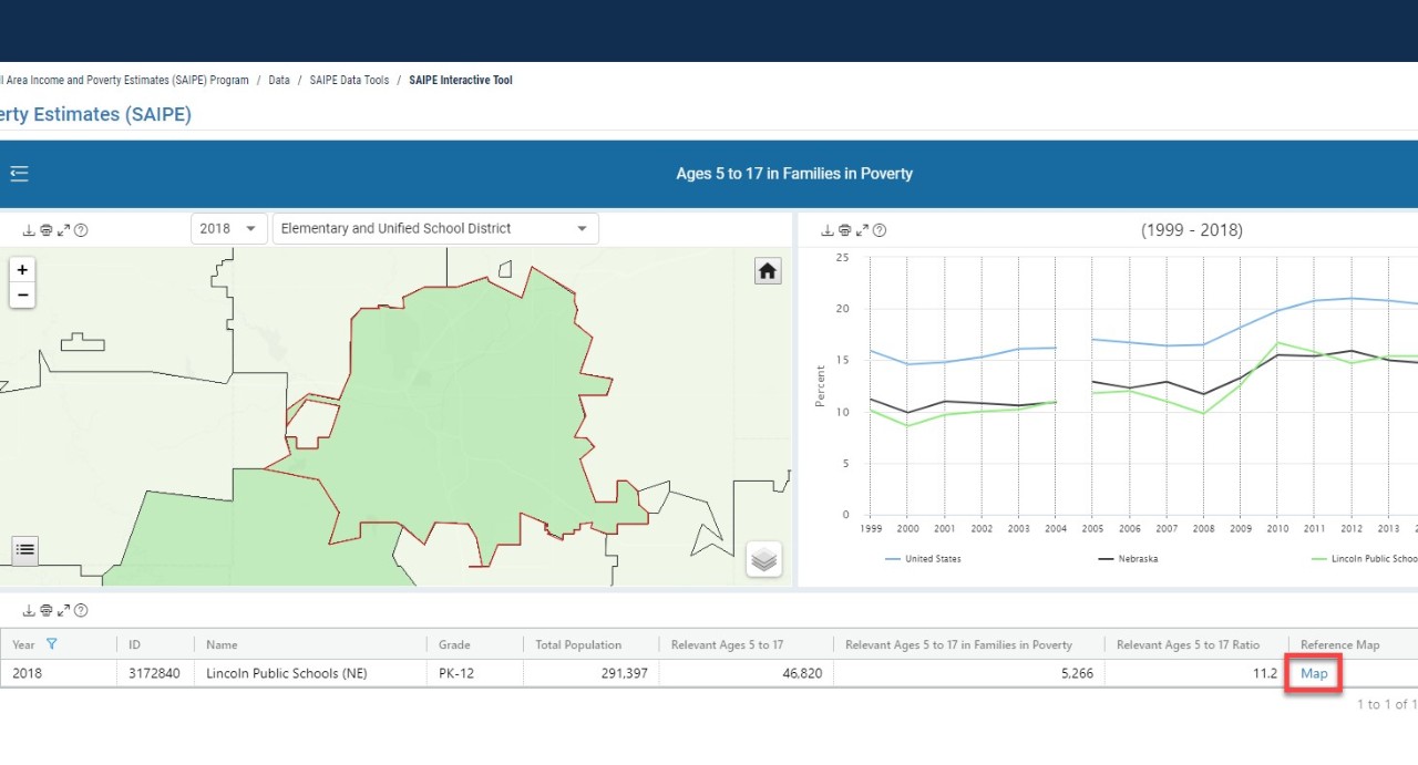
- Select "Ages 5 to 17 in Families (school district)".
- Under the "Filter By:" menu, select the "School Districts: --All--" button.
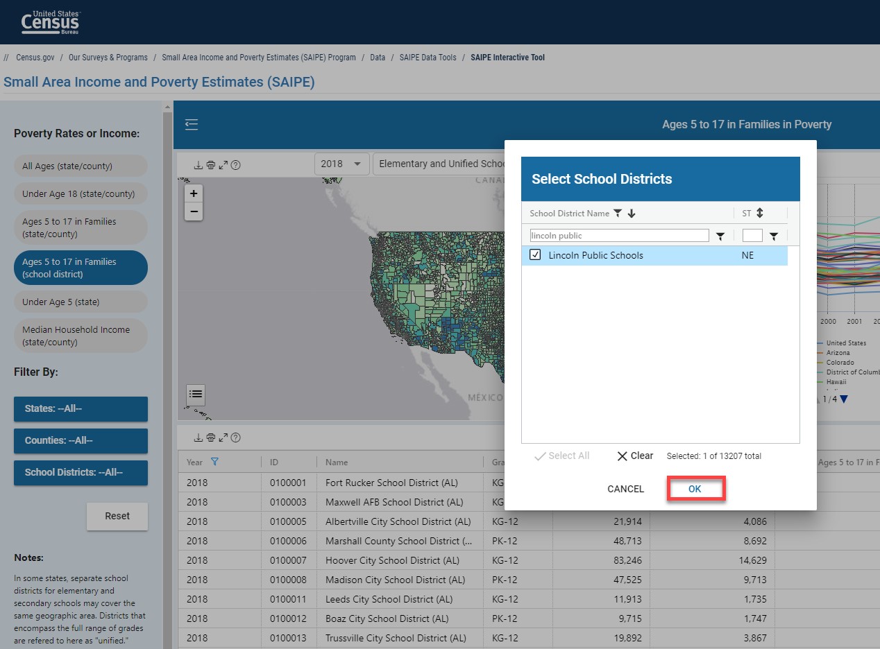
- In the window that pops up, start typing the name of the school district. Once it is listed, select it and then select “Ok”. The map will now zoom in on the generalized boundaries of the school district.
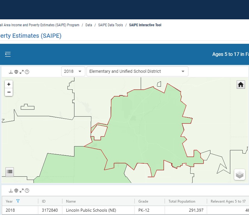
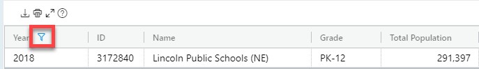
- Within the table part of the display, data for the school district is displayed from the most recent release. Additional years can be selected using the filter button.
- Use the Map hyperlink in the table that corresponds to the boundary you wish to view.
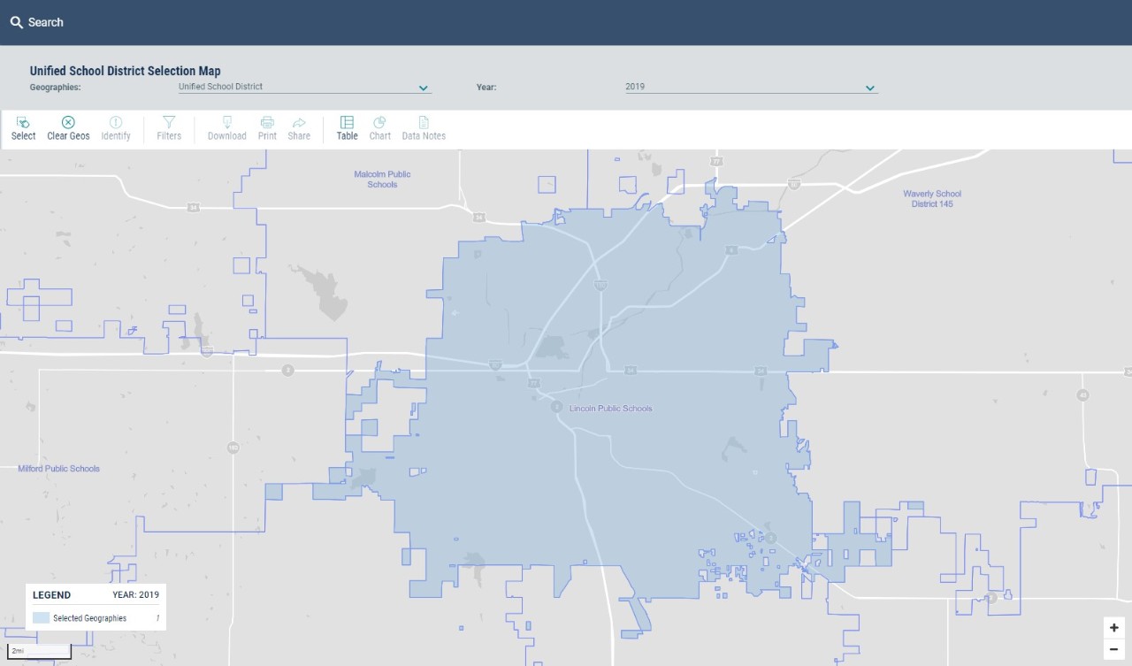
- The link will open in a new tab or window, which navigates to the U.S. Census Bureau’s data.census.gov website. It usually takes a moment to load. The boundaries shown in the tool should be current as of January 1 in the year the data was released (For example, SAIPE 2018 was released in December 2019).
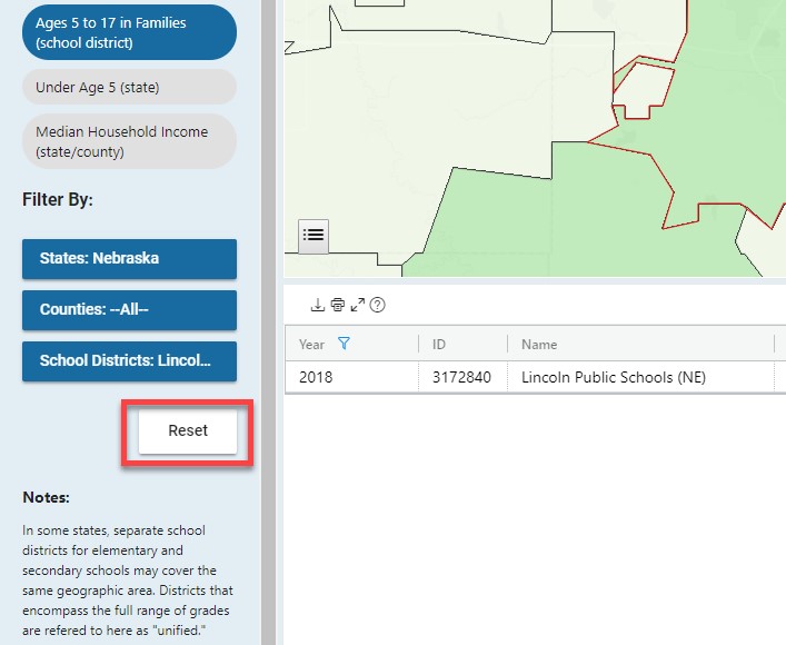
To select a different school district or other geography, use the Reset button located on the left.
Related Information
DATA TOOL
Income and Poverty Interactive Data Tool
Page Last Revised - October 8, 2021