Emergency Management Hub
Data Tools
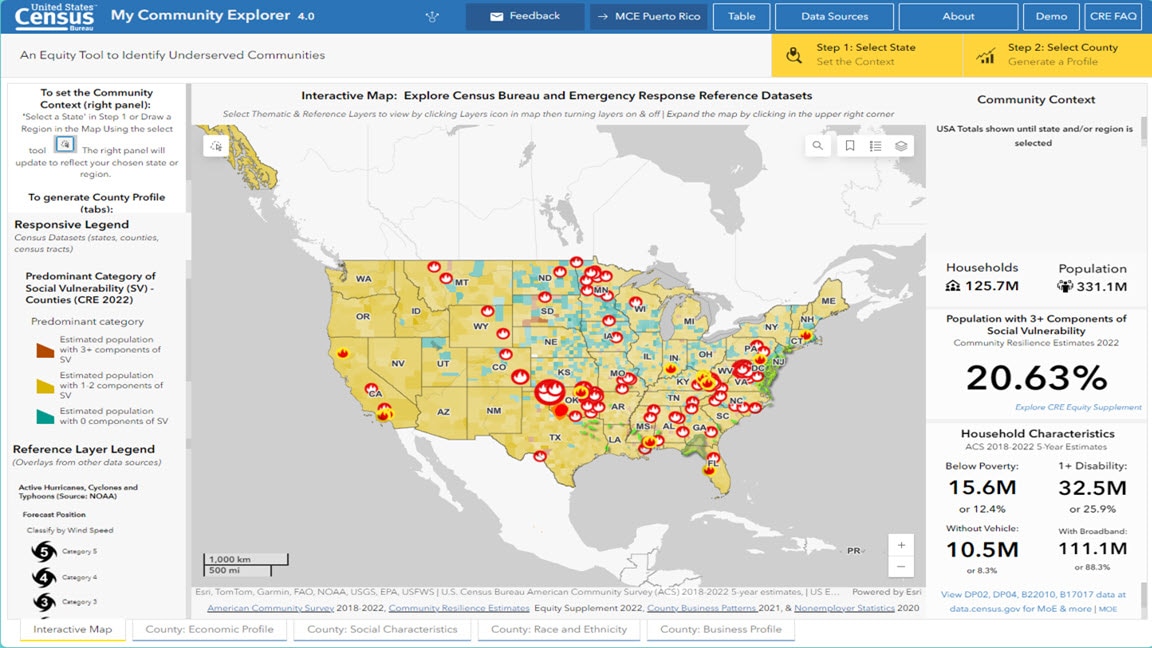
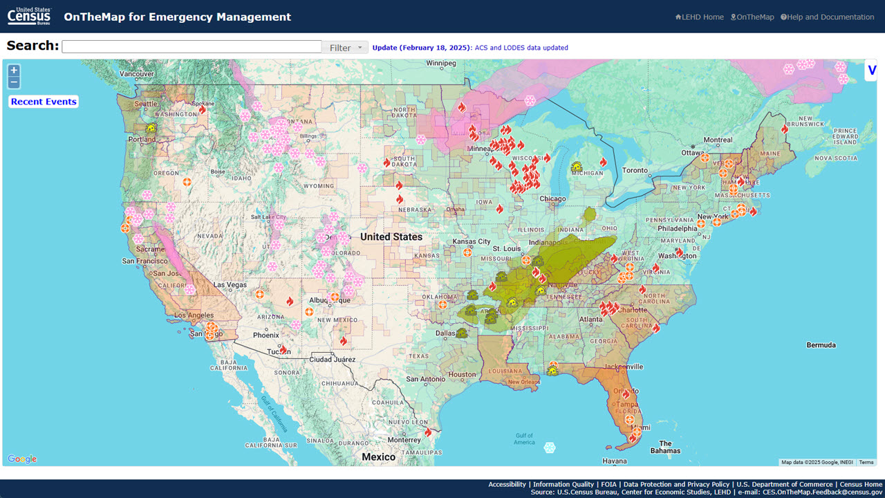


Search the Data Featured in My Community Explorer
Datasets by Characteristics:
- Demographic
- Housing
- Social
- Economic
- Business
- Employment
Datasets by Geography:
- State Level
- County Level
- Tract Level
America Counts Stories
-
America Counts StoryWho Doesn’t Have Air Conditioning?June 03, 2026The Census Bureau’s new Local Air Conditioning Estimates (LACE) helps local planners respond to risk of heat exposure in their communities.
-
America Counts StoryHighlighting Census Business Builder’s Geography FeaturesMarch 31, 2026Census Business Builder tool features unique ways to pull only the data you need by customizing regions and applying geographic filters.
-
America Counts StoryThe Stories Behind Census Numbers in 2025December 22, 2025A year-end review of America Counts stories on everything from families and housing to business and income.
-
America Counts StoryPreparing for the 2025 Hurricane SeasonJune 05, 2025Hurricane season began June 1 and we highlight Census Bureau tools available to help communities prepare for, respond to and recover from natural disasters.
Contributing Surveys and Programs
-
American Community Survey (ACS)The American Community Survey is the premier source for information about America's changing population, housing and workforce.
-
Community Resilience EstimatesThe Census Bureau’s CRE provide an easily understood metric for how socially vulnerable every neighborhood in the United States is to the impacts of disasters.
-
County Business Patterns (CBP)Provides subnational economic data by industry, including the number of establishments, employment, first quarter payroll, and annual payroll.
-
Nonemployer StatisticsNonemployer Statistics (NES) is a data product released annually that provides subnational economic data for U.S. businesses with no paid employees by industry.
Recent News
-
Press ReleaseBusiness Trends and Outlook Survey Data Release — July 30, 2026The Business Trends and Outlook Survey provides timely data for key economic measures and business expectations about future conditions.
-
Press ReleaseBusiness Trends and Outlook Survey Data Release — July 16, 2026The Business Trends and Outlook Survey provides timely data for key economic measures and business expectations about future conditions.
-
Press ReleaseBusiness Trends and Outlook Survey Data Release — July 2, 2026The Business Trends and Outlook Survey provides timely data for key economic measures and business expectations about future conditions.
-
Press ReleaseBusiness Trends and Outlook Survey Data Release — June 18, 2026The Business Trends and Outlook Survey provides timely data for key economic measures and business expectations about future conditions.
Page Last Revised - July 28, 2026