Determining Population Density Using the GEOINFO Dataset on data.census.gov
Determining Population Density Using the GEOINFO Dataset on data.census.gov
In this data.census.gov tutorial, we introduce you to the new GEOINFO dataset, which provides land and water area measurements for all the geographies that are disseminated by the U.S. Census Bureau during a calendar year. Learn how to access the new table on the data search site, and how you can use it to calculate population density. The video offers step-by-step instructions for navigating the Census Bureau's website, locating relevant data tables, and performing the necessary calculations, making it easier for users to determine population density for different geographic areas.
For more guidance on using our site, please visit our Resources page:

Related Information
-
data.census.gov ResourcesGet an overview of resources available for help on using data.census.gov, the Census API, and Microdata Access.
-
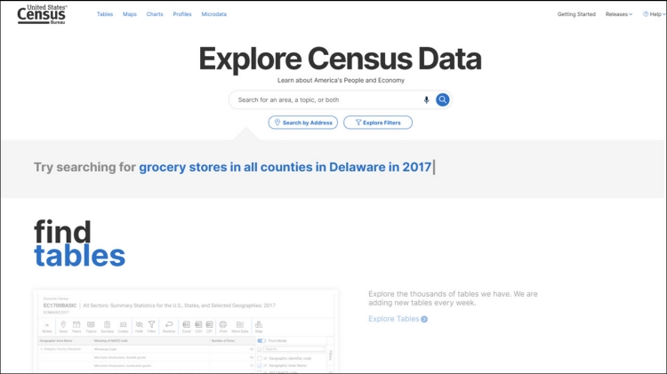
Data ToolExplore Census DataThis new platform on data.census.gov is based on overwhelming feedback to streamline the way you get data and digital content from the Census Bureau.
-
Video TutorialsOur team has created a series of "how-to" videos for those looking for ways to enhance their knowledge of data.census.gov, Census API, and Microdata Access.
Related Information
DATA TOOL
Explore Census Data
Page Last Revised - November 5, 2024