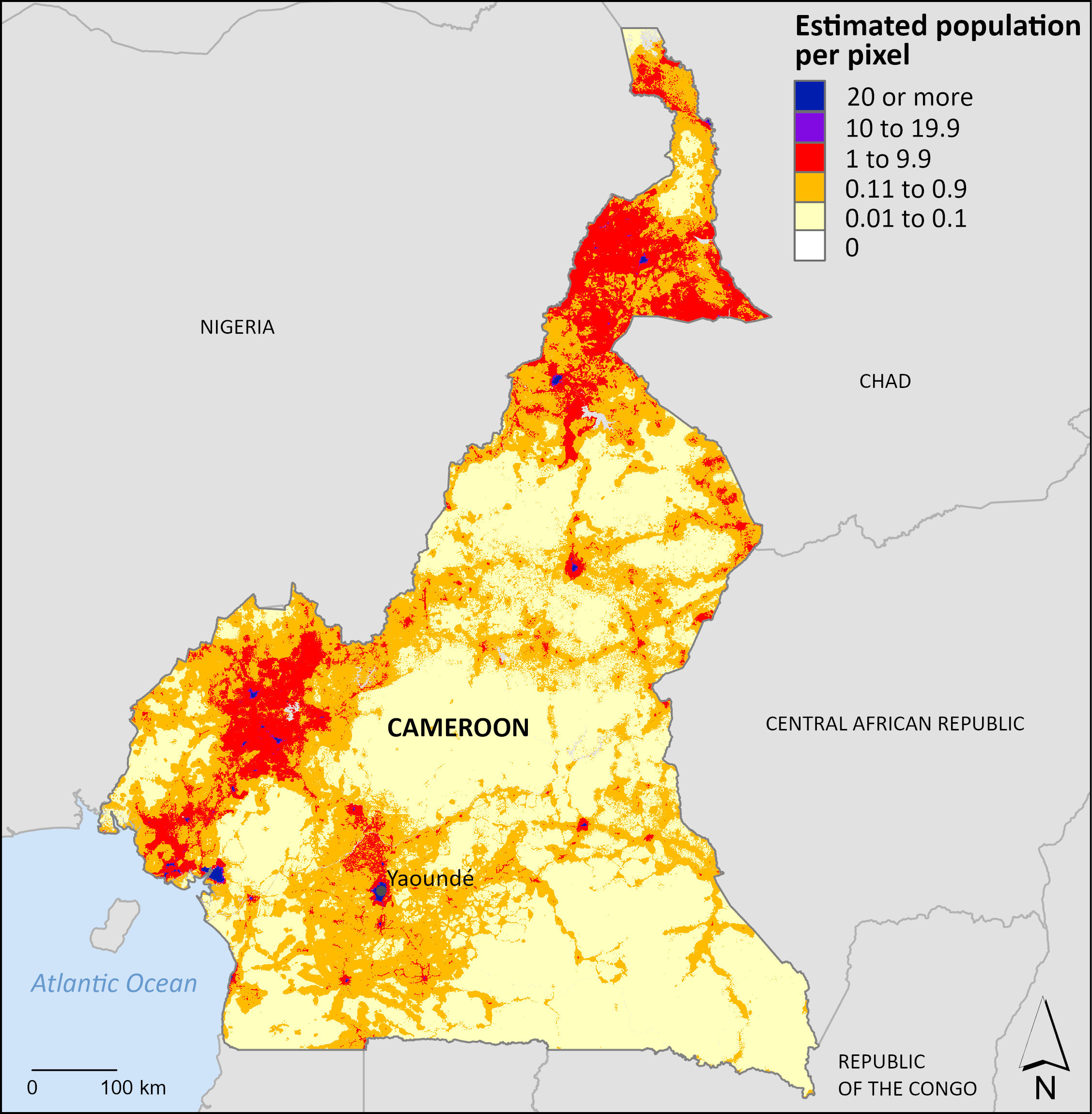
Demobase South Sudan
Demobase South Sudan

Demobase South Sudan
Using novel methods, the Census Bureau mapped South Sudan, a country with a substantial rural population. Satellite imagery was combined with 2008 census data and 2017 population estimates to produce gridded population layers.


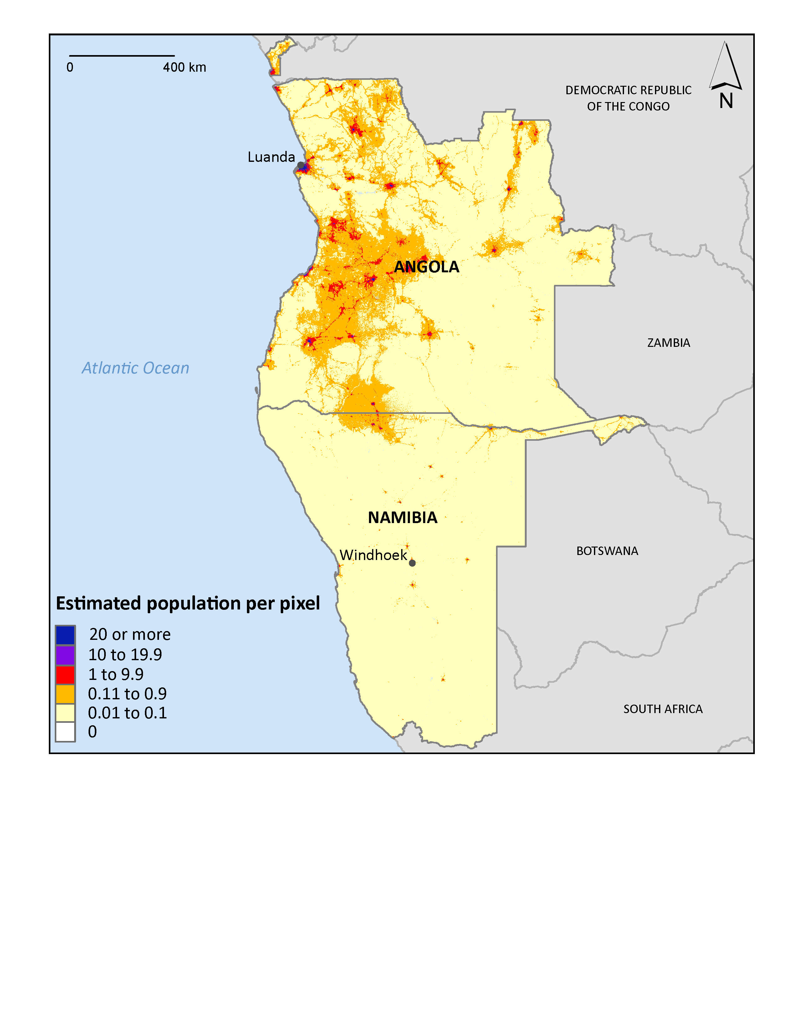
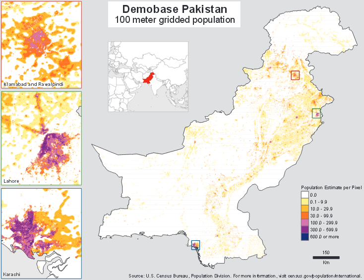
Other Demobase Visualizations

Related Information
Page Last Revised - September 23, 2025